
Upper Piney
Newby Branch to Pine Creek Rd
Overview
This 8.6-mile section travels through the scenic forests and stream valleys of the Upper Piney watershed. The trail offers a peaceful hiking experience with varied terrain, abundant wildlife, and beautiful creek views. Near Pine Creek Road, the route follows Moccasin Creek, home to the rare and federally endangered laurel dace, highlighting the area’s unique ecological importance.
Trail Section Details
Features:
- Waterfalls
- Overlooks
- Swimming
- Wildflowers
- Fall color
- Bluffs
Counties:
- Rhea
Distance:
8.6 miles
Difficulty:
Strenuous
Elevation Change:
Max elevation of 1707 at 2.25-mile mark. Min elevation of 1062 at confluence of Piney, Duskin Creek, and Rockhouse Branch.
Northern Terminus:
Described here to the Piney River Suspension Bridge (Newby Branch Trailhead is permanently closed to public access due to private property restrictions. Plan hikes to that trailhead as out-and-back trips accordingly.) The remaining 3.0 miles to the Piney River Trailhead Recreation area at Shut-In Gap Rd are described in the “Lower Piney” CT section
Southern Terminus:
Pine Creek Rd (35.64950 N, 84.96698 W)
Timezone:
EDT
Camping:
No designated campsites along this section.
Water Sources:
Piney Creek & Moccasin Creek
Trailheads
This trail is described from Pine Creek Rd Trailhead, which is the current southern terminus of the continuous segment of trail extending north to Ozone Falls. The trailhead is accessed via Evensville Mountain Rd, Wash Pelfrey Rd, and making a right turn onto the unpaved gravel Pine Creek Rd. There is parking for one or two vehicles just past the trailhead near the concrete one-lane bridge over Moccasin Creek. High-clearance and/or 4×4 vehicles recommended.
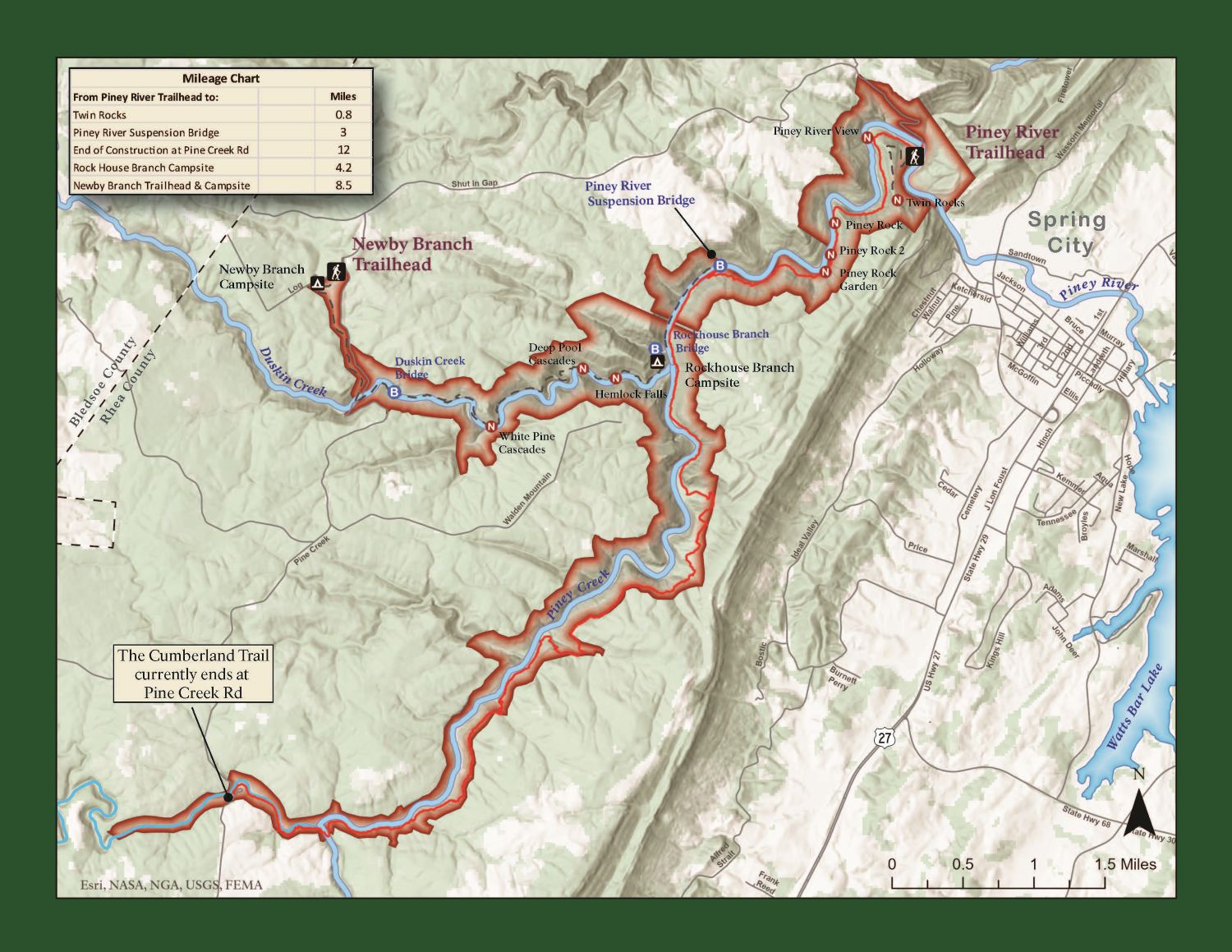
Map
Description
This trail is described from South to North with the mileage total in parentheses starting from the Piney River Suspension Bridge and campground. If beginning your hike at the Piney River Recreation Area, traveling South to the Pine Creek trailhead, add 3.0 to that total.
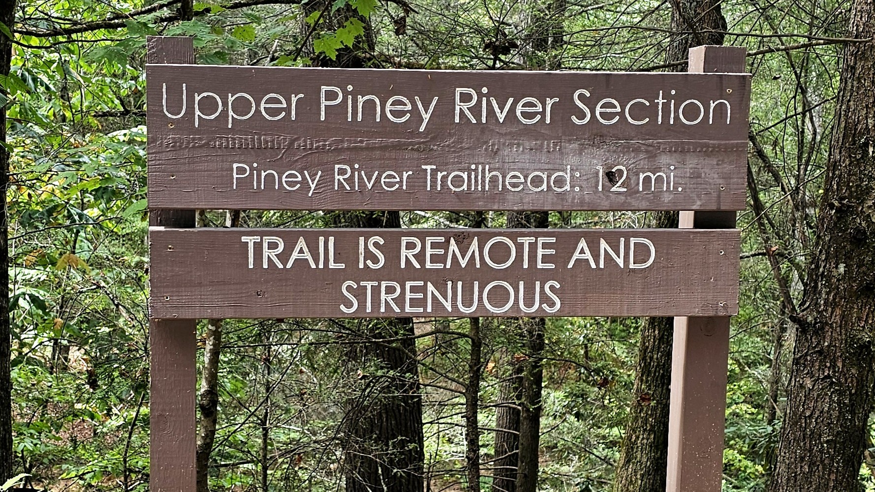
Mile 0.0 (8.75) Pine Creek Rd trailhead. Trail begins just to the right of the sign indicating 12 miles to the Piney River Rec Area trailhead. The signage below this that indicates the trail is “Remote and Strenuous” is missing, though still accurate. Trail will follow Moccasin Creek on your left.
Mile 1.0 (7.75) Bridge & Campsite. Moccasin Creek will converge with Piney Creek, and the trail will turn to the SW to cross a metal footbridge and campsite area. Trail continues between the large rocks to the NE running parallel now with Piney Creek to the left.
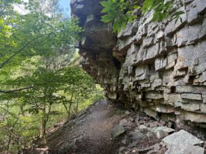
Mile 2.1 (6.65) Numerous caves and rock bluffs are evident along the right side of the trail and many of these large breakaway rocks form large portions of the trail, culminating in a staircase of 300 installed rock steps for the quick 200 ft ascent to the highest elevation of this hike. Once at the top and above the rock bluffs, the trail levels off and follows a softer trail-bed of pine needles for the next mile.
Mile 2.5 (6.25) Overlook. Look for an opening in the foliage to the left for a stunning overlook of the Piney and Moccasin Creek gorges below. In the distance to the west was the trailhead start for this hike (and/or your ultimate destination goal) and is quite the payoff and rest stop for what might have been a strenuous climb over the many rock steps just completed.
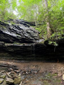
Mile 3.1 (5.65) Waterfall. After a descent along another large series of rock steps, the trail cuts behind a refreshing small waterfall. While not largely flowing in drier summer months, it is a refreshing picnic spot, photo opportunity, and the intentional placement of the CT behind the falls is a design marvel.
Mile 4.2 (4.55) Pass along a small natural outcropping with some accent rocks appearing to serve as “guardrails”. The next two miles of trail will have more of the exposed bluffs, rock caves, wet weather crossings, and fewer major elevation changes that were more common in the earlier miles of the hike. During this stretch you may notice that Piney Creek has gone out of view and possibly earshot below.
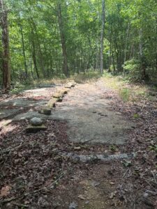
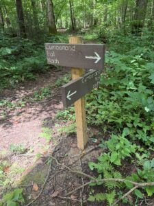
Mile 6.2 (2.55) The main trail crosses an ATV road and continues for a short descent before rejoining this same road for a short stretch. Signage at approximately 6.6 shows where to continue CT North. Trail follows an old logging railbed and returns closer to Piney Creek which the trail will follow alongside to the end of this segment. At mile 7.0 you will cross the last of the large wet weather crossings and pass under the final majestic rock cave bluffs.
Mile 7.75 (1.0) Descend the final rock steps to the lowest elevation point of this hike, at the confluence of Rock Branch, Dustin Creek, and Piney Creek as it expands to become Piney River. Mark this point on your map or GPS (if the river crossing appears walkable/passable) for future reference in the next step. Trail continues as a flat easy walk for the final mile.
Mile 8.75 (0.0) Piney River Suspension Bridge. Reach the conclusion of this segment at the Piney River Suspension Bridge and Campsites. Those hikers seeking to continue to Piney River Rec Area trailhead will NOT cross the bridge but continue the trail to the right remaining on the same bank of the river for the final 3.0 miles (Described on the page for the Lower Piney section). Crossing the bridge continues a spur trail to a remnant section of the CT, now called Duskin Creek Trail, returning southbound on the opposite side of the river eventually to Newby Branch Trailhead.
***NOTE*** If returning out-and-back to Pine Creek Rd Trailhead, it is possible to cross the suspension bridge and follow the trail described in the Lower Piney section to Rockhouse Branch Campsite, Miles 3.0-4.1, re-cross the river to your checkpoint marked at mile 7.75 previously, and continue back southbound at those same rock steps. It is a more interesting 1-mile stretch of trail compared to the flat, easy walk just completed on the east bank of the river.