
Daddy’s Creek (North)
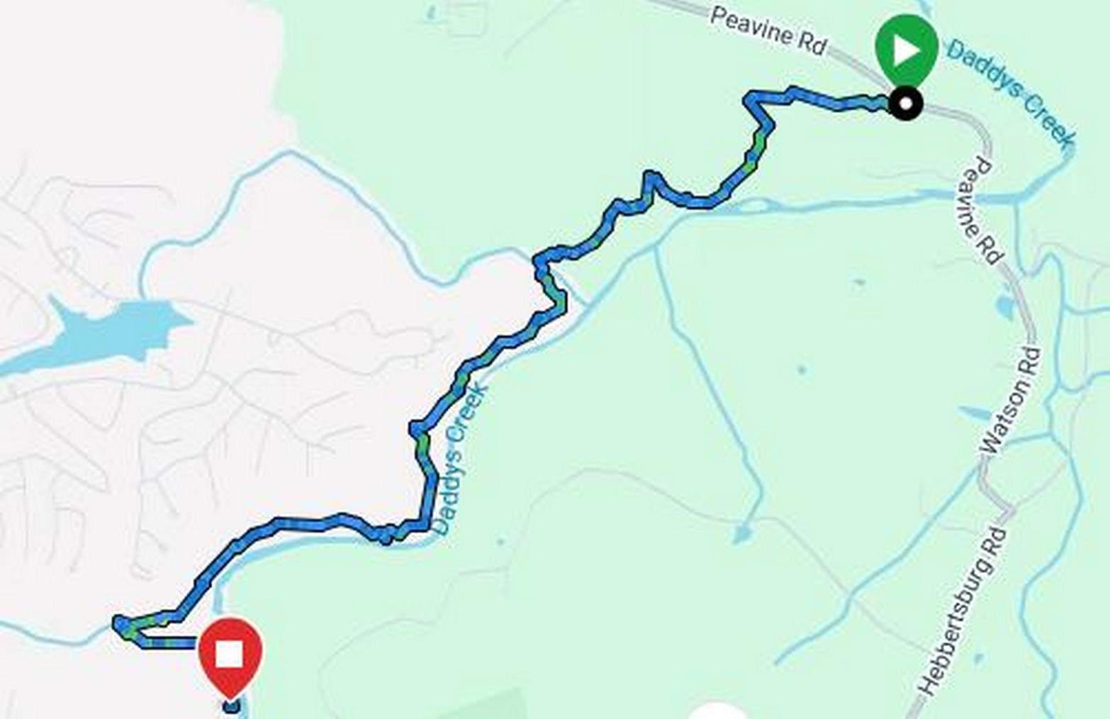
Peavine Road to Future Daddy’s Creek Bridge Crossing

Overview
This segment is through primarily second growth hardwood forest above Daddy’s Creek. The hike is generally moderate with a net elevation gain (loss) of 200 ft., however there are several steep climbs over short distances making for some strenuous walking. The total ascent and descent is 460 ft. Use caution over stretches of trail bed made of loose rock.
The usual species of plants and trees native to the Cumberland Plateau are to be seen. Habitat varies from drier upland environment along the ridge line to moist lowland environments near the waters of Daddy’s Creek, Wolfden Branch, Trail Branch and Whiteoak Branch. There are extensive rock bluffs and overhangs. Look for impression fossils as you walk. Many are exposed in the cribs and rock piles created during trail construction. Please look, but do not disturb.

Trail Section Details
Features:
- Swimming
- Wildflowers
- Fall color
Counties:
- Cumberland
Distance:
4.3 miles
Difficulty:
Moderate
Elevation Change:
200
Northern Terminus:
Peavine Road
Southern Terminus:
Future Daddy’s Creek Bridge Crossing
Timezone:
CDT
Cautions:
Does not currently connect to the southern section except during low water; bridge planned. The trail crosses long stretches of stones in a few places and there are several steep stone steps. Use care negotiating these stretches. During periods of heavy rain, some stretches near Daddys Creek may be muddy to flooded.
Camping:
There are no camp sites in this trail section. A bridge over Daddys Creek is planned which will provide access to the campsite across Daddys Creek.
Water Sources:
There are NO SAFE WATER SOURCES along the Cumberland Trail. However, Daddys Creek, Wolfden Branch, Trail Branch and Whiteoak Branch are water sources. Bring your own drinking water or filter and sterilize water for drinking; boil or sterilize all water used for cooking.
Topographic Maps:
Fox Creek Quadrangle; USGS US Topo 7.5-minute map for Fairfield Glade, TN
Trailheads
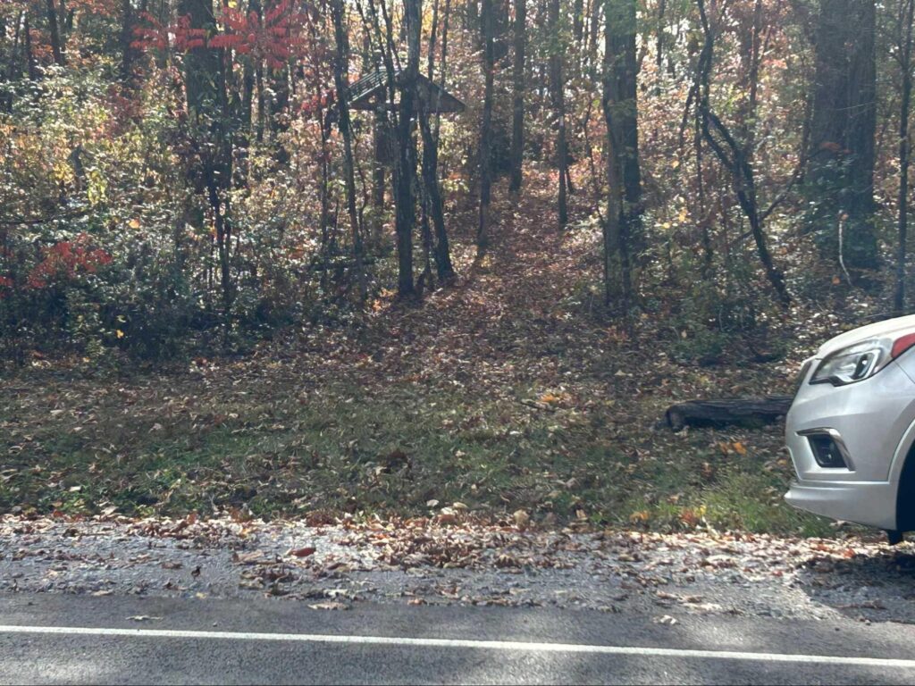
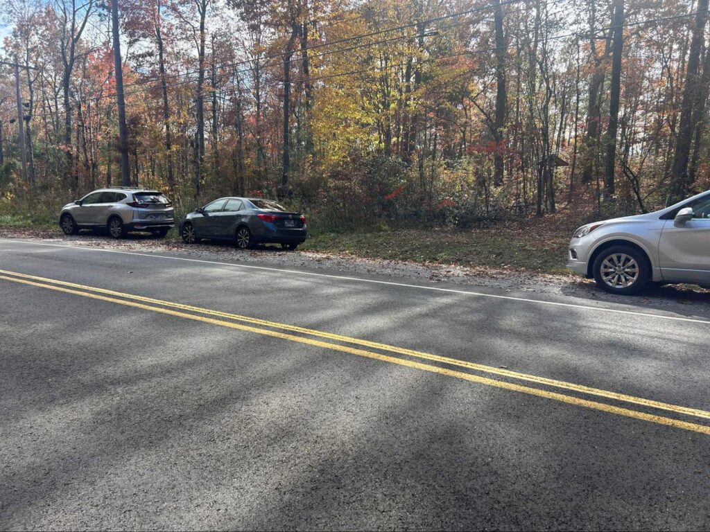
Northern Trailhead: From I40, continue on Peavine Rd. through Fairfield Glade for 10.4 miles to the trailhead on the right. GPS coordinates are N36.000925, W84.825544. Watch for kiosks at the edge of the woods on each side of the road.
Map
Description
Mileages are from South to North followed by North to South in Parentheses. Text in parentheses is for clarity for North to South hikers.
Mile 0.0 (4.3) The southern terminus of this section is located at the planned Daddy’s Creek bridge crossing. Once constructed, the bridge will connect this section of the Cumberland Trail to the Daddy’s Creek South Section. The trail tread is over soft sand and sandy loam with Daddys Creek on the right (left) for about 250 ft. then ascend steeply.
Mile 0.1 (4.2) The trail levels out on an old road bed.
Mile 0.2 (4.1) Notice a white CT blaze and a Cumberland Trail sign on the right (left). The road bed splits uphill on the left (right), but the CT continues straight ahead on the road bed for a short distance.
Mile 0.3 (4.0) The trail narrows and descends.
Mile 0.4 (3.9) Cross a wooden bridge over Wolfden Branch. In about 200 ft. begin to ascend.
Mile .5 (3.8) Continue through a series of short ascents and descents leveling out in a stand of rhododendron and laurel.
Mile 0.7 (3.6) Cross a drainage on stones.
Mile 0.8 (3.5) Continue through a nice stand of Hemlock. Notice the dying trees due to the Woolly Adelgid infestation.
Mile 0.9 (3.4) The trail bears left away from Daddys Creek and continues with Trail Branch on the right.
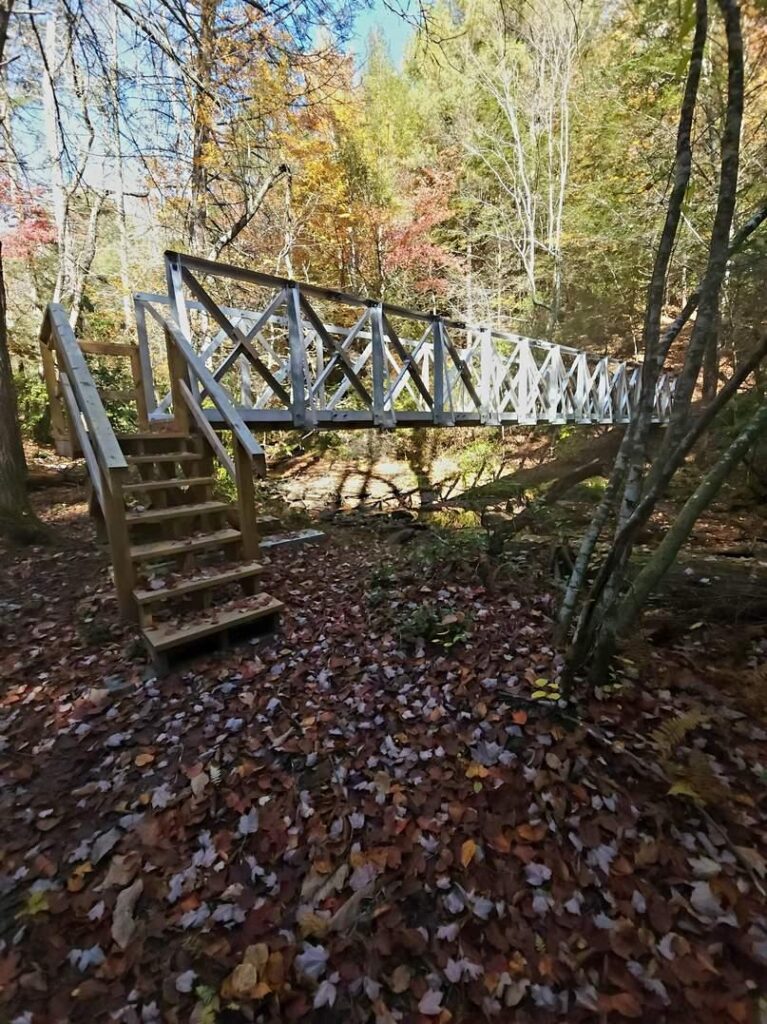
Mile 1.1 (3.2) Cross an aluminum Gator Bridge over Trail Branch.
Mile 1.2 (3.1) Cross a wet weather drainage on rocks. Enter a laurel thicket.
Mile 1.3 (3.0) Ascend from the laurel thicket then descend on stone steps.
Mile 1.4 (2.7) Ascend stone steps.
Mile 1.7 (2.6) Ascend on stone steps and cross a wet weather seepage.
Mile 1.8 (2.5) Descend for the next .2 mile on rocks and 20 stone steps.
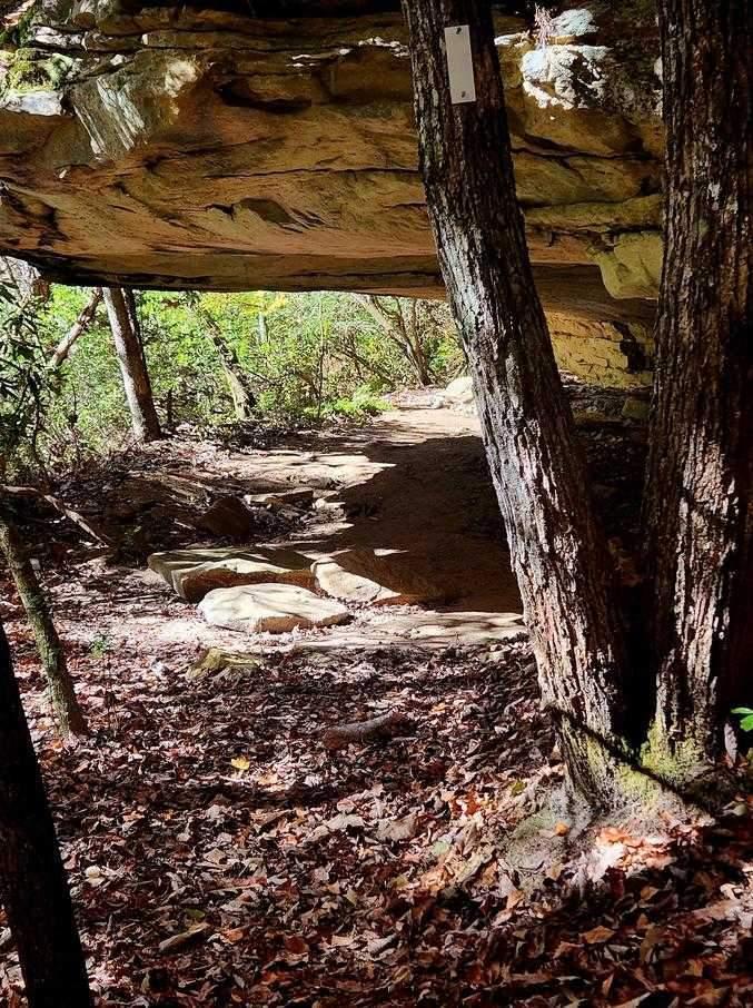
Mile 2.0 (2.3) Pass under a nice rock overhang. This makes for a good photo op.
Mile 2.2 (2.1) For the next .1 mile, the trail follows an impressive rock bluff on the left (right), and then crosses through a stand of large leaf magnolia growing on each side of the trail.
Mile 2.3 (2.0) Begin to ascend on stone steps and cross a wet weather drainage.
Mile 2.5 (1.8) Cross a rock field. Use caution on stones.
Mile 2.7 (1.6) Continue to ascend on stone steps through laurel and hardwood forest.
Mile 2.8 (1.5) Crest the hill.
Mile 2.9 (1.4) Continue through mountain laurel. In about 150 ft., descend (ascend) an impressive flight of 16 stone steps then come to an aluminum Gator Bridge across Whiteoak Branch. This bridge was erected by the U.S. Army Corp of Engineers.
Mile 3.0 (1.3) From the bridge, ascend through a switchback and stone steps.
Mile 3.1 (1.2) Continue to ascend.
Mile 3.2 (1.1) In spring time, note the colonies of Solomon’s Seal on both sides of the trail along here.
Mile 3.3 (1.0) Switch back right and cross a wet weather drainage on stones.
Mile 3.4 (0.9) Pass through a hemlock stand, then switch back right and descend on stone steps curving to the left (right). Cross a wet weather drainage and then ascend 10 stone steps.
Mile 3.6 (0.7) Pass through a nice stand of mountain laurel. The trail levels off briefly before beginning a steep ascent.
Mile 3.7 (0.6) Ascend steeply.
Mile 3.8 (0.5) Here the trail curves to the left descending gently to follow the ridge line.
Mile 3.9 (0.4) Ascend on stone steps slightly and cross a wet weather drainage.
Mile 4.0 (0.3) Bear right on an old road bed. Descend (ascend) rock steps.
Mile 4.2 (0.1) Begin a gentle ascent following the ridge line.
Mile 4.3 (0.0) End (Begin) at the Kiosk on Peavine Rd. The kiosk and trailhead for the Peavine to Devil’s Breakfast Table segment is across the road.
More Information
This section guide was written on 11/5/26 by Frank Jamison.