Cup Gap
Cup Gap to Carr Gap
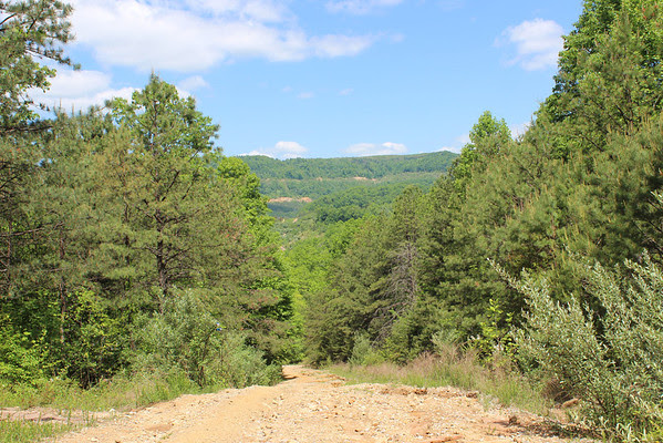
Overview
This section follows the ridgeline of Cumberland Mountain between Cup Gap and Carr Gap, with rolling terrain through mixed hardwood forest. The route generally stays high along the divide, offering intermittent views of surrounding valleys. Portions of the corridor follow old roads and may be rough, overgrown, or impacted by ATV use.
Trail Section Details
Features:
- Overlooks
- Fall color
- Bluffs
Counties:
- Claiborne
Distance:
5 miles
Difficulty:
Moderate
Northern Terminus:
Wooded endpoint; future trail extension planned
Southern Terminus:
Carr Gap Road
Timezone:
EDT
Cautions:
Limited maintenance; expect overgrown or difficult-to-follow sections.
Camping:
No designated campsites along this section.
Description
We don’t have a detailed description for this trail section yet. Interested in helping document the Cumberland Trail? Learn more about volunteering!